
The Kuiseb River, which starts in the Khomas Hochland near Windhoek, is a “linear oasis.” It is a temporary river that, like the Tsauchab River, crosses the Namib Desert but no longer reaches the sea because sand dunes have blocked its path to the north.
On your Sandwich Harbour tours, you can also opt to visit this river.
Although the river basin covers more than 21,000 km², most of its water comes from the 100–350 mm of rain that falls in the 6,600 km² area east of the escarpment each year. The river begins in the central highlands near Windhoek.

The Kuiseb River serves the town of Walvis Bay on the coast, Namib-Naukluft Park, the Topnaar village in the middle section, and commercial farmers in the higher areas. It has also provided water for Swakopmund and several mines in the past, and it still supports uranium mining and exploration today.
With farming in the upper areas and sometimes a large number of people living near its mouth, the Kuiseb is a typical river of the Namib Desert.
From where it flows out of the cliffs to about the area of Homeb, the river valley forms a canyon. As the riverbed becomes wider, plants begin to grow. Small sand dunes are scattered across the floodplain, which changes in width past Homeb and has a regular amount of trees and bushes where the river stops flowing.
The riverbed is mostly wide and sandy, and it is usually dry for most of the year. It only floods when enough rain falls in the area where it collects water. It often disappears into the sand before reaching the sea, flows for only two or three weeks each year, and never reaches Gobabeb.
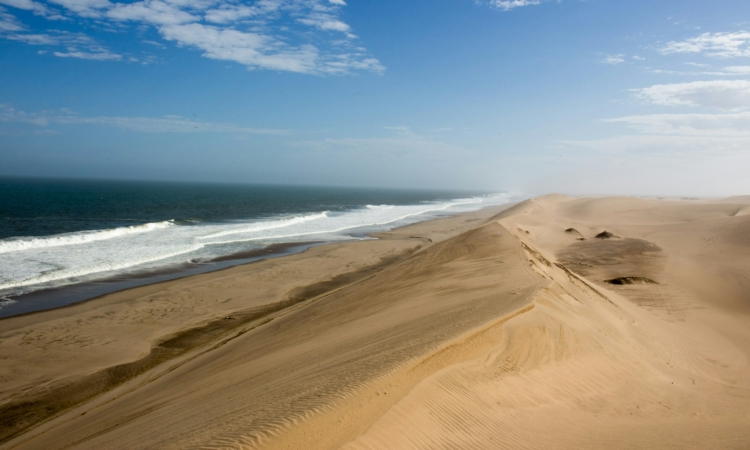
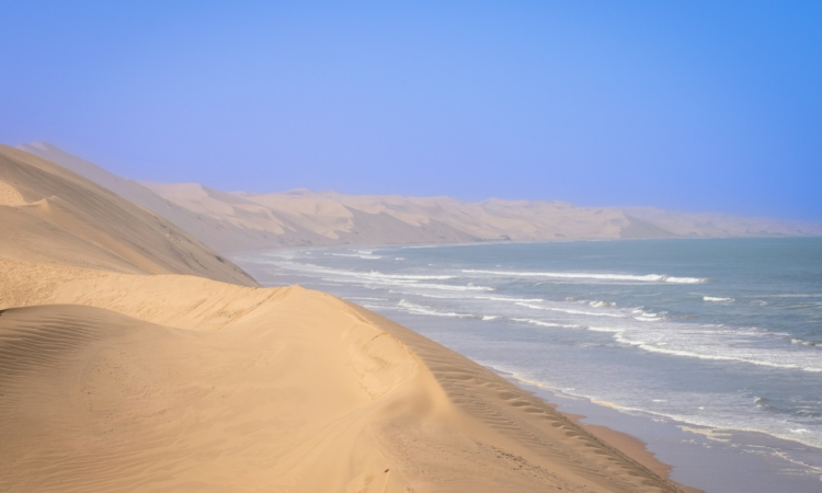
Even though it usually ends in the dunes near Walvis Bay, heavy floods can still push it through the dunes and into the sea.
Records show this happened in 1934 and again in 1963, when the river kept flowing for several months and broke through the sand barrier to reach the sea. That must have been quite a sight!
In 1997, a large flood almost reached the Walvis Bay salt factory, but a wall was quickly broken down to change its path. A small amount of water reached the Walvis Bay Lagoon in April 2000.
In 2006, a year with very high rainfall, the river flooded again but did not reach the sea.
Ten types of trees grow along the 135 km of the river that has been studied, from Homeb to Rooibank. The riverbed has sycamore and Namaqua rock fig trees, Euclea pseudebenus, Tamarix usneoides, Euclea erioloba, Faidherbia albida, and Maerua shinzii. Another important plant in the Kuiseb area is the salvadora, a bright green bush.
The Kuiseb River usually flows in January, February, or March each year. After the water stops flowing, it stays in small pools, which slowly dry up. At the end of the rainy season, only a few pools of water remain in the narrow parts of the Kuiseb Canyon.
The Kuiseb Canyon

The Kuiseb River forms a deep canyon called the Kuiseb Canyon along the Gamsbok Route, west of the Khomas Hochland. It enters the Namib-Naukluft Park about 230 km from Windhoek and 165 km from Swakopmund. The river then moves through a network of dry riverbeds that run through the rough and dry land.
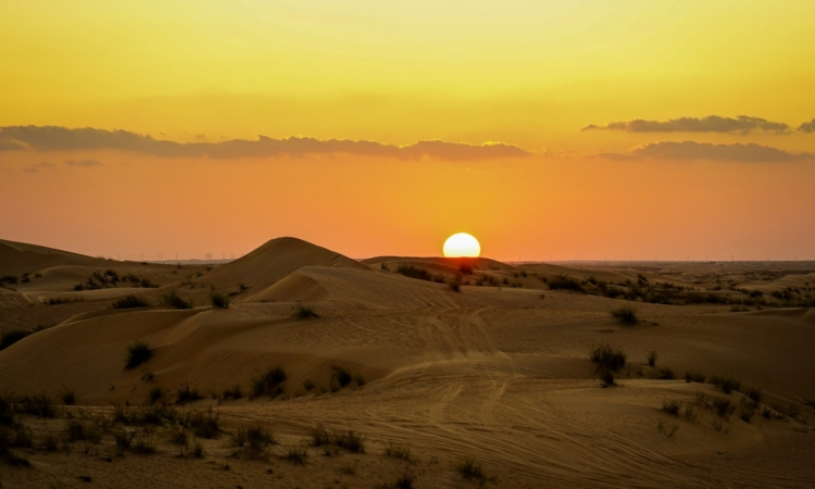
The Carp Cliff looks over the canyon. The view is beautiful, especially in the late afternoon when the sun sets and the canyon walls turn orange.
Many animals can be seen here, including klipspringer and even leopards. Springbok herds on the plains provide food for jackals, and spotted hyenas are often heard at night.
There are small Topnaar Khoi-Khoi communities on the north bank where the valleys become wider, but the highest parts of the canyon are empty.